
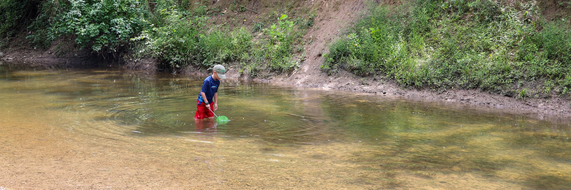
The Town of Brownsburg has begun stabilization work along sections of White Lick Creek within Arbuckle Acres Park to protect the streambank and surrounding natural areas. Over time, natural water flow and storm events have eroded sections of the creek, putting nearby infrastructure, including paved trails, pedestrian bridges, and the newly constructed multi-use path, at risk.
“This project helps us protect one of Brownsburg’s most valuable natural assets,” said Town of Brownsburg Parks Director Amber Lane. “White Lick Creek provides habitat for wildlife and a scenic space for residents to enjoy, so it’s important that we take steps now to ensure its health and stability in the future.”
In the past, the problem was controlled with riprap, large rocks placed along the banks to stabilize the area. Over time, many of these rocks were washed away by storms or moved by park visitors, leaving the streambanks exposed.
The project, in collaboration with Clark Dietz, aimed to address these challenges by creating aesthetically pleasing access points into the creek for the public while stabilizing eroded streambanks.
“There’s a lot of erosion occurring on the stream bank, and we are stabilizing that so it doesn’t further erode into the stream and reduce sediment deposition,” said Clark Dietz Project Lead Aaron Barding, PE. “We are trying to go for a more ecosystem-friendly design that supports not only the streambank, but also aquatic life.”
As part of this work, the Indiana Department of Natural Resources (IDNR) required restoration of a nearby woodland wetland to offset sediment pollution caused by the eroding banks. Through this process, invasive plant species will be cleared out and replaced with hundreds of plugs and overseeding of a woodland wetland mix.
Through a detailed assessment, the project team has identified ten critical erosion areas along White Lick Creek:
- Location 1: A 5.5-foot eroded bank just 10 feet from a paved forest trail.
- Location 2: A 30-foot vertical eroded bank, 15 feet from a multi-use path.
- Location 3: A gully formed from a stormwater outfall.
- Location 4: Streambank erosion with exposed roots; no immediate improvements recommended.
- Location 5: Erosion at the left streambank near a vehicular bridge structure.
- Location 6: A deep pool downstream of Location 5.
- Locations 7–9: Gullies formed by pedestrian ingress paths to the stream.
- Location 10: Exposed geofabric where riprap has washed out.
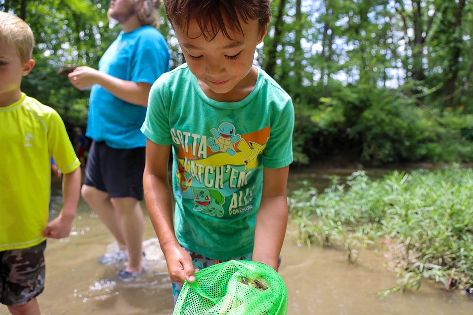
These areas represent the most vulnerable spots where erosion threatens both the natural environment and public infrastructure. As White Lick Creek is beloved by many park users and is often used as a place for creek stomping, sections 7-9 include designed entrances in the stream, creating natural play spaces.
Once complete, the stabilization efforts will help prevent future erosion and improve stormwater management, ensuring that nearby parks and green spaces remain safe and accessible.
“Our goal is to balance responsible environmental management with recreation,” said Assistant Town Manager Shawn Pabst. “Projects like this ensure Brownsburg’s natural spaces remain beautiful and sustainable for generations to come.”
Construction began in fall 2025 and is anticipated to last through 2026. During construction, the paved loop at Arbuckle Acres Park and the White Lick Creek Greenway may be temporarily inaccessible. Trail users are encouraged to use Maple Ridge Trail at Williams Park as an alternative.
The White Lick Creek stabilization project is part of the Town’s ongoing commitment to environmental stewardship and the preservation of the community’s natural resources. Residents can follow project updates on the Town of Brownsburg website.